Products
PRD/01—08 ●
Deliverables you
can build on.
From web GIS platforms to orthophoto, elevation models and maps — MDVIA's products are provided as part of our services or as standalone solutions, tailored to each client's requirements.
The product board
PRD/01—08 · Part of our services or delivered standalone.
PRD/01 — Web GIS
Insight GIS
Our web-based GIS: secure, easy to use, accessible from any platform, rich in tools and designed for decision support.
Layers
- Seismic lines
- Orthophoto 50 cm
- Access routes
- Field camps
- ERW zones
- Cadastre
Progress
19,440 / 27,000 km²

Live — Kwanza Basin project view
- Web based — nothing to install
- Secure and easy to use
- Accessible from any platform
- Designed for decision support
PRD/02 — Web GIS
●Baobab GIS
Spatial planning · Spatial project management · Almost real time
Web-based spatial management system for planning and running upstream projects in almost real time.
Built on advanced GIS tools, web technologies and accurate geo-information, Baobab GIS serves two scopes: spatial planning and spatial project management.
PRD/03
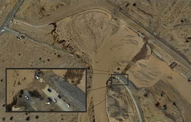
●Orthophoto
Over 40,000 km² produced at resolutions from 6 to 50 cm per pixel, in diverse and harsh conditions.
PRD/04
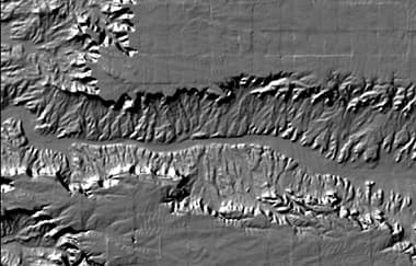
●Elevation Models
Digital elevation, terrain and surface models for water-flow modeling, relief maps, 3D visualization and more.
PRD/05
●Oblique Aerial Photos
Geo-tagged object-targeted and panoramic oblique photography — an additional perspective on any project area.

PRD/06
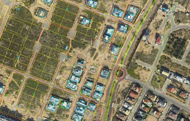
●Maps
GIS-based cartography in a variety of scales and types, updatable in practically real time.
PRD/07
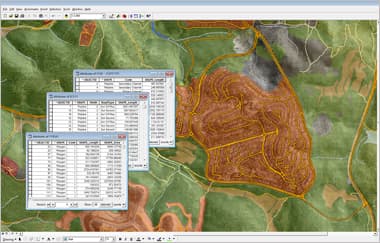
●Geographic Databases
Raster, vector and document geodatabases — digitized, structured and exportable in any format.
PRD/08
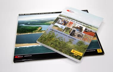
●Scouting & ERW Reports
Field reports and geo-databases that supplement scouting and ERW risk-assessment operations.
Start a project
Mapped, modeled, measured.
Every product above can be scoped as part of a full MDVIA service or delivered on its own. Tell us what your project needs to see.