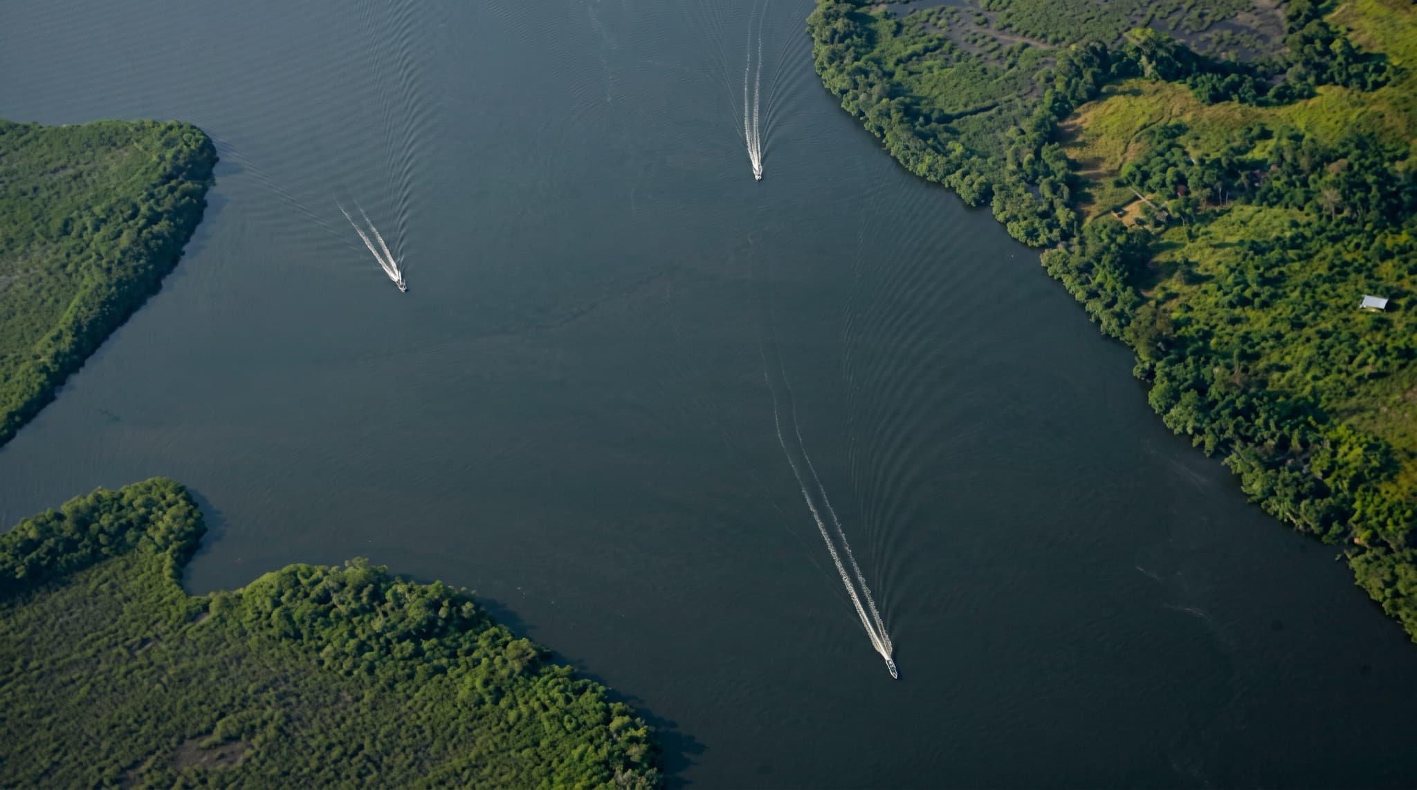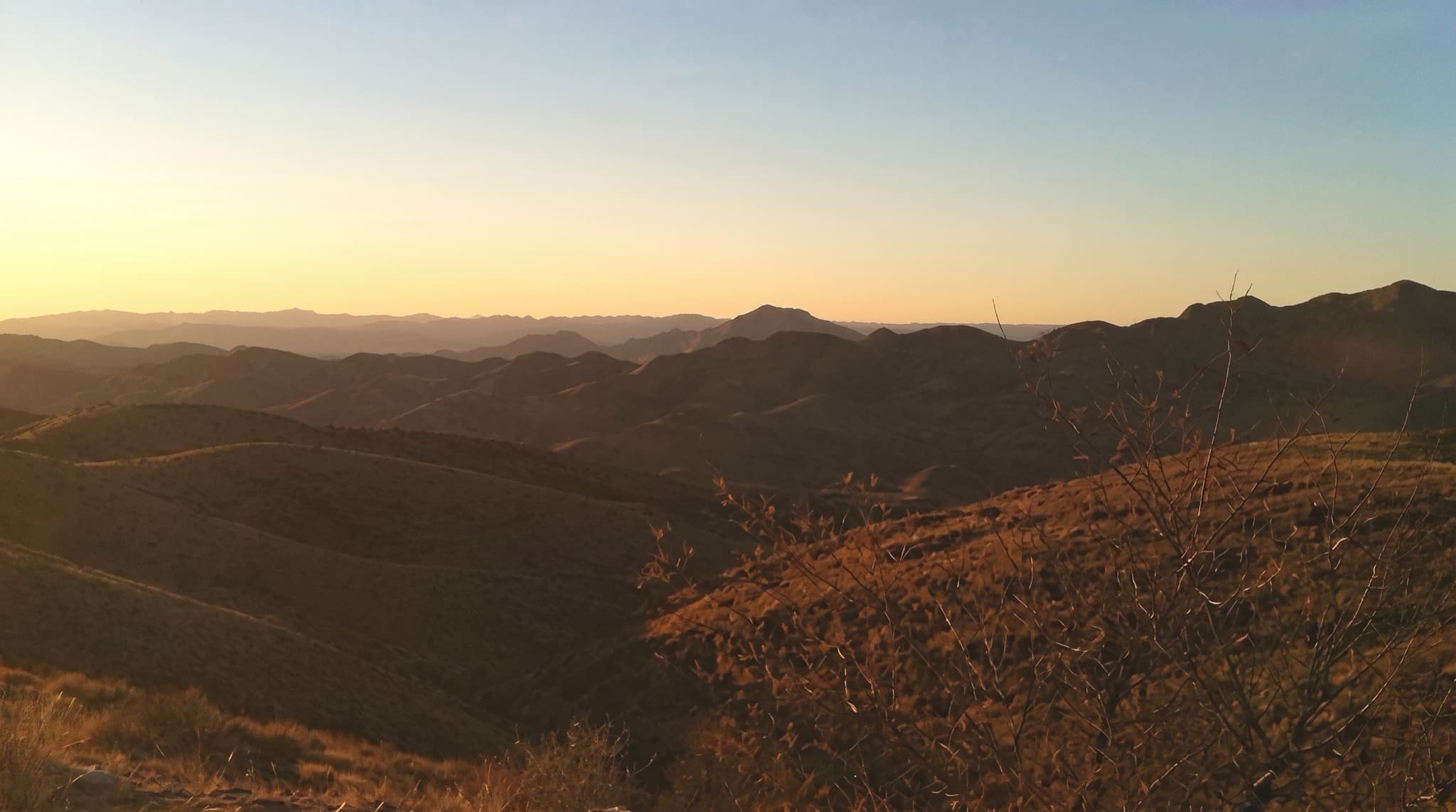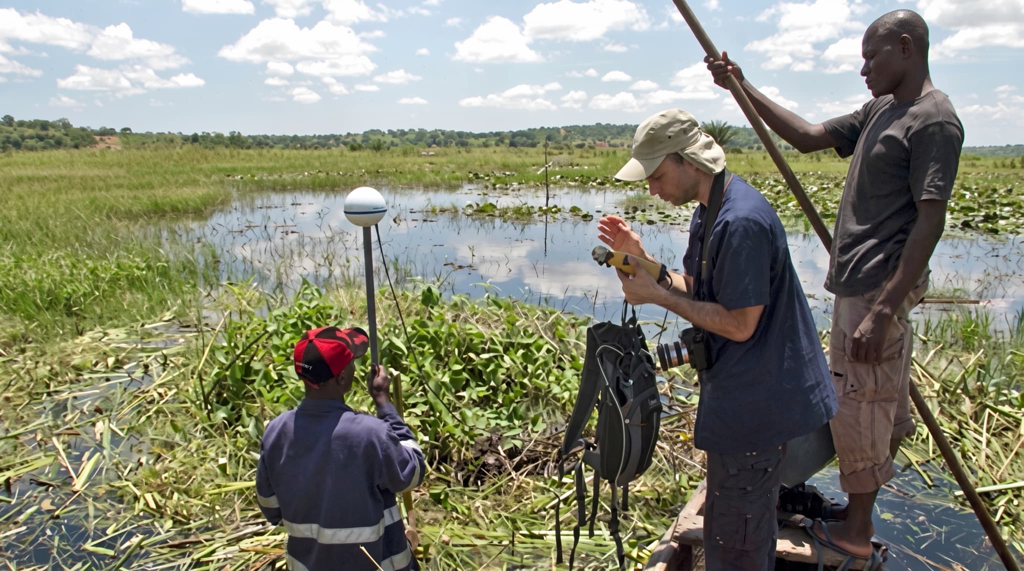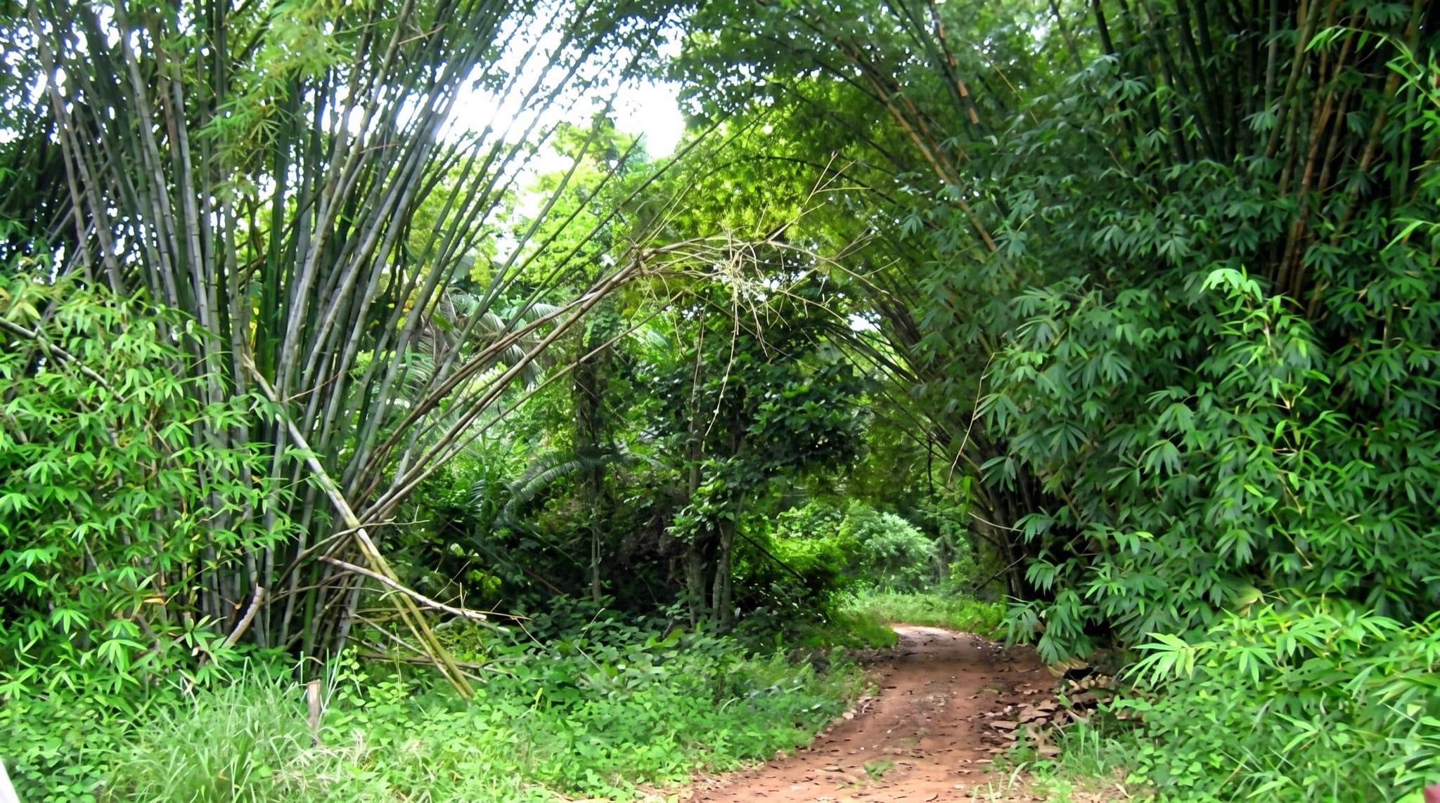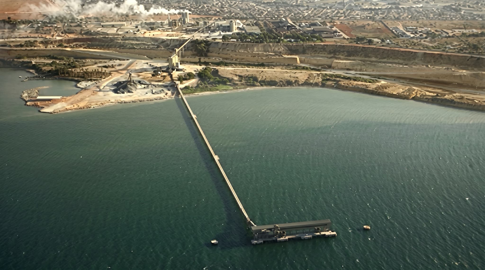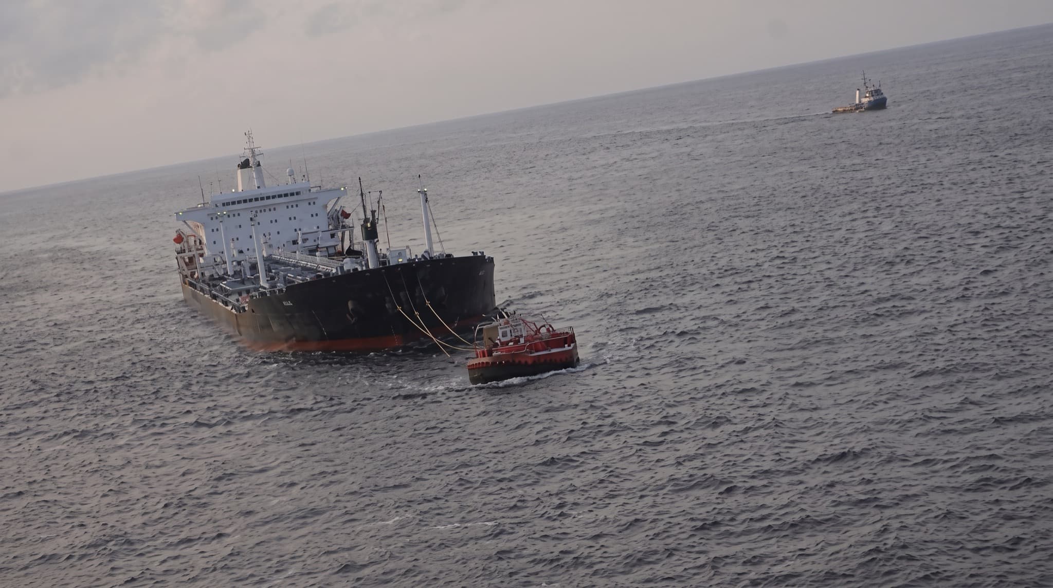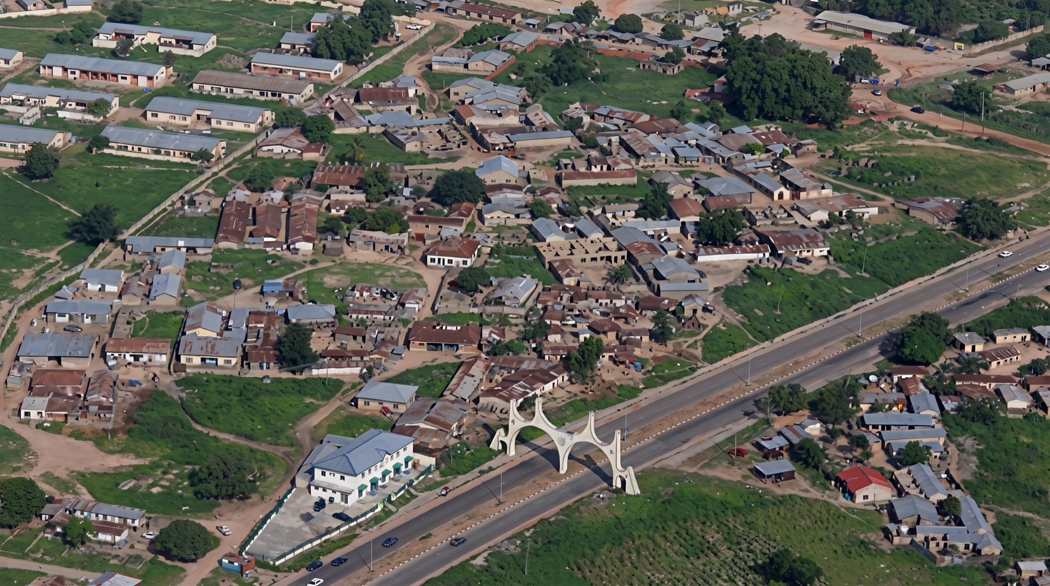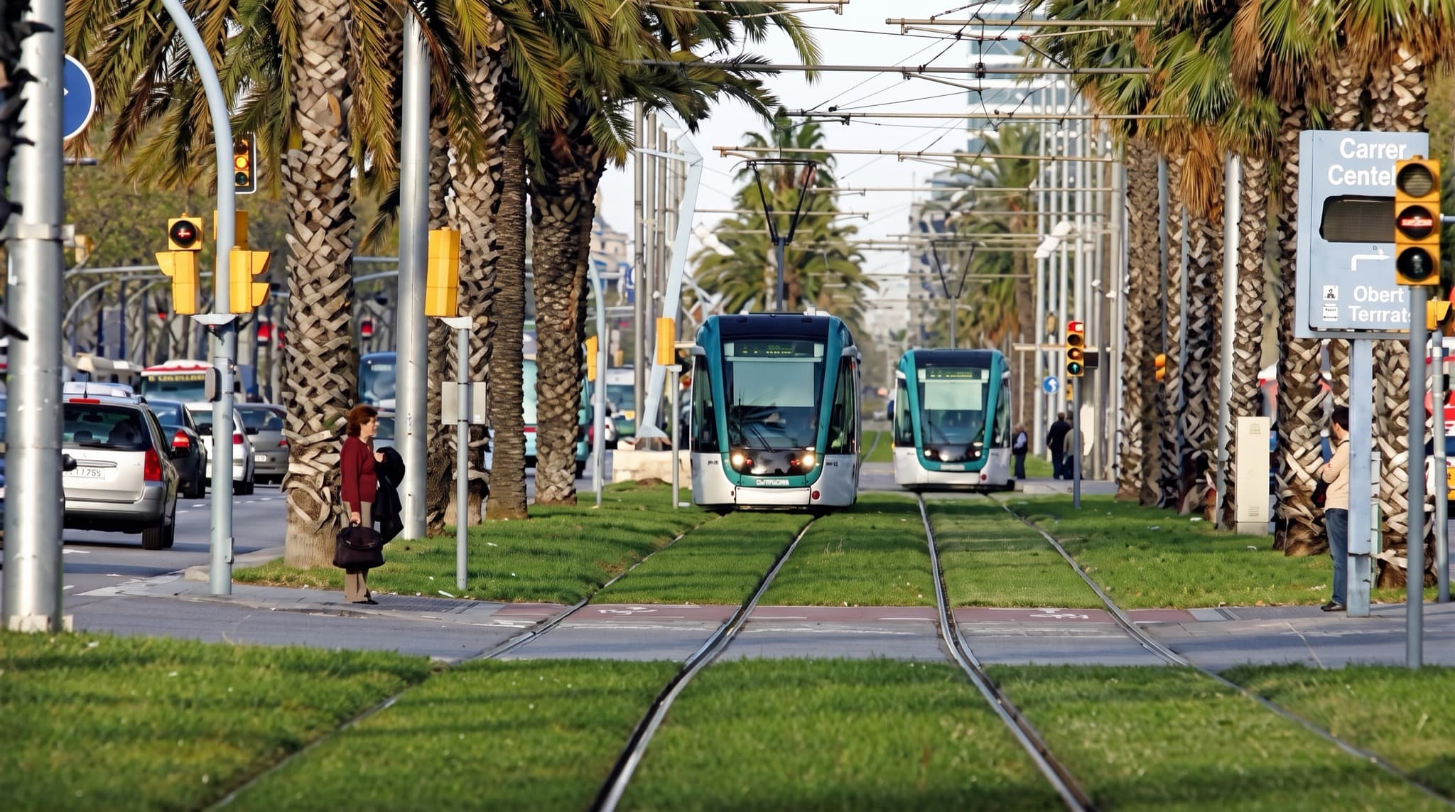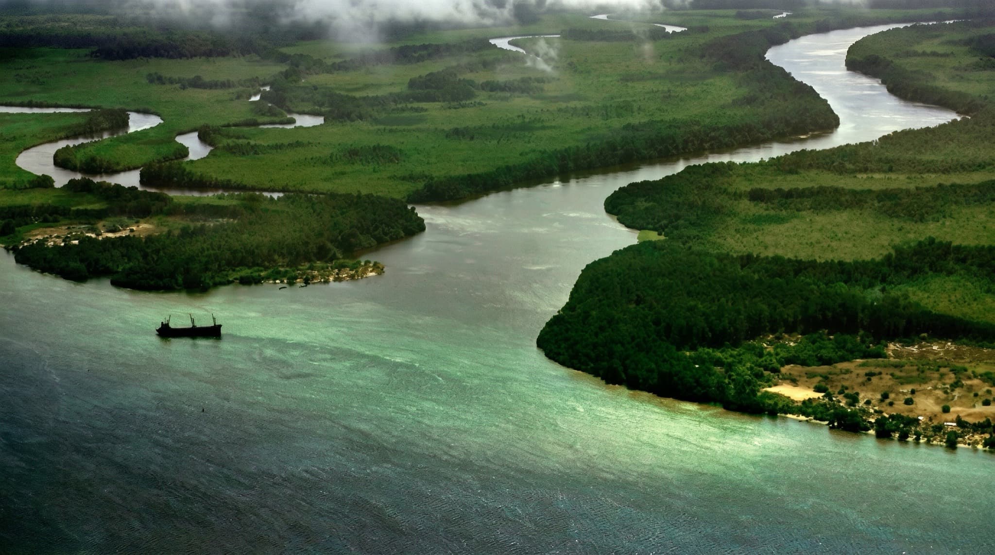
The Congo river, Zaire Province, Angola

Projects

12 operations · 6 countries ●

Operations on
four continents.

Seismic acquisition surveys, orthophoto production and construction projects across the Middle East, Africa and South America — from national-scale oil exploration in Angola to millimeter-grade leveling on the Jerusalem light rail.

Operations map

Twelve operations plotted at their true coordinates — select one to open its record.

Theatre of operations — equirectangular●
EQUATOR 0°TLV STATIONLAD STATION

NE 110M · 10 PX/°

Select a marker to open its record below.

15°11′S 12°09′E — Angola · 2011 — 2013●
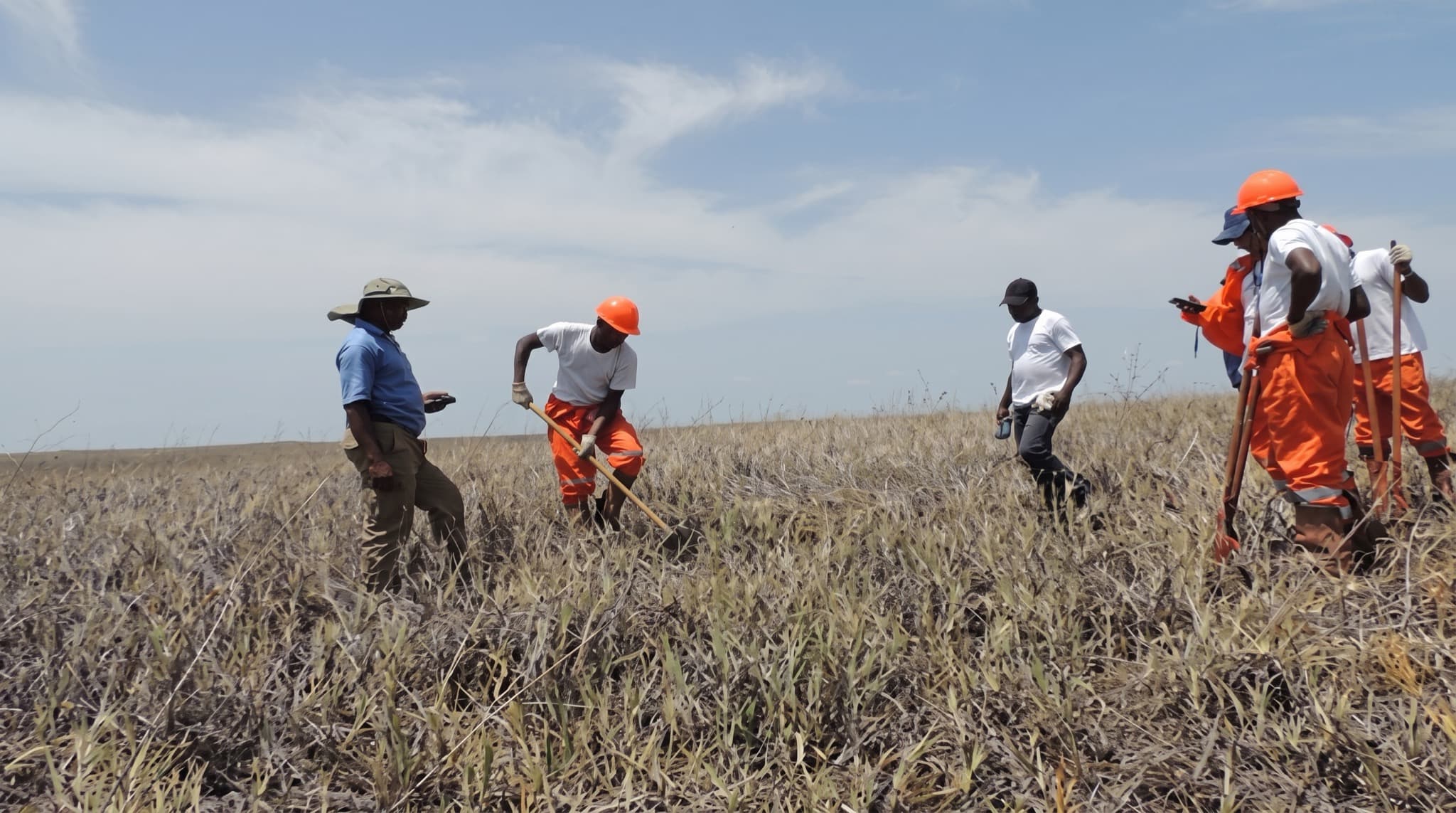
Namibe Basin 2D Seismic Acquisition

Namibe Basin 2D Seismic Acquisition

Namibe Basin, Namibe Province · Angola For Sonangol EP

A national-scale oil exploration project conducted by Sonangol, Angola's national oil company. MDVIA performed aerial mapping and scouting, implemented the Baobab GIS, and consulted across the operation — including orthophoto production of 8,500 km² and a GIS center for the seismic project.

  • Aerial mapping
  • Scouting
  • Baobab GIS
  • Consulting
9°30′S 14°30′E — Angola · 2012 — 2013●
Geological & Geochemical Mapping

Geological & Geochemical Mapping

Kwanza Basin, Kwanza Norte & Sul · Angola For Sonangol EP

The first national-scale geochemical mapping project in Angola at 1:25,000 — rock and soil sampling over 27,000 km² with 15,000 sampling points and extensive hydrocarbon analysis. MDVIA's geological department conducted QA & QC, consulting directly with Angolan colleagues through field sampling and analysis.

  • Geological mapping
  • Geochemistry
  • QA & QC
6°08′S 12°22′E — Angola · 2010 — 2012●
Congo Basin 2D & 3D Seismic Acquisition

Congo Basin 2D & 3D Seismic Acquisition

Soyo, Congo Basin, Zaire Province · Angola For Somoil

Large-scale oil exploration across an 814 km² concession. MDVIA scouted over 470 km of roads, recorded 172 points of interest including 158 oil wells, produced orthophoto, provided geodetics and ERW services, and implemented the Baobab GIS.

  • Scouting
  • Aerial mapping
  • Geodetics
  • ERW
  • Baobab GIS
9°18′S 14°54′E — Angola · 2008 — 2012●
Kwanza Basin 2D Seismic Acquisition

Kwanza Basin 2D Seismic Acquisition

Kwanza Basin, Kwanza Norte & Sul · Angola For Sonangol EP

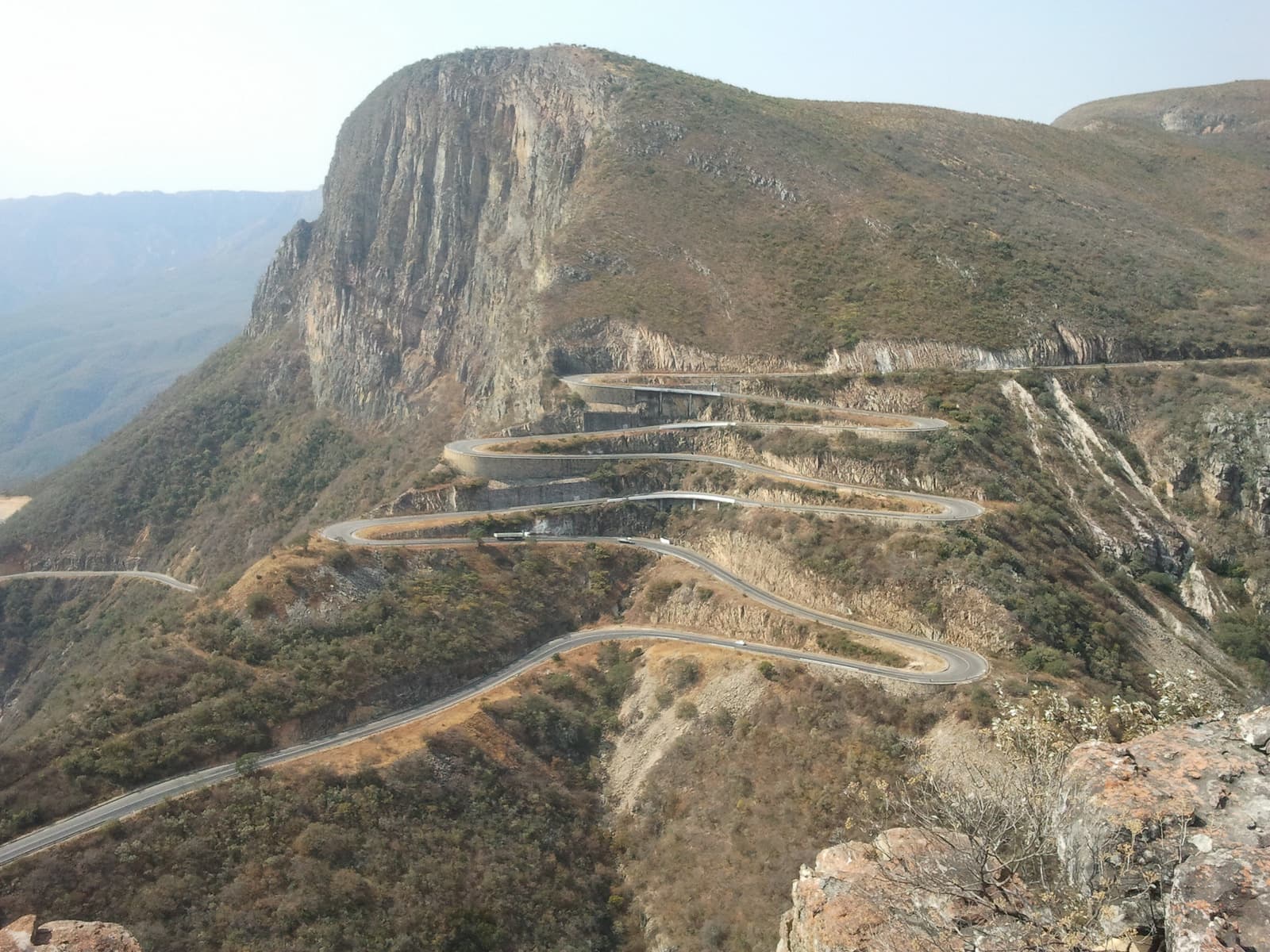
A 27,000 km² onshore 2D seismic acquisition defined as a national high-priority project. MDVIA supported it from pre-planning to field implementation: 30,000 km² of aerial photography at 50 cm GSD flown by our air crew, scouting patrols with mobile GIS, and the Baobab GIS at the project's core.

  • Orthophoto 30,000 km²
  • Scouting
  • Baobab GIS
  • Consulting
5°33′S 12°12′E — Angola · 2006 — 2007●
Geophysical Seismic Survey

Geophysical Seismic Survey

Cabinda Province · Angola For Geophysical Institute of Israel

2D and 3D seismic survey for ROC Oil: 1,800 km surveyed in savanna and 1,200 km in jungle. 14 professional land surveyors led 100 local workers and over 20 4×4 vehicles, with a fully equipped technical office established in Cabinda.

  • Seismic land survey
  • Path clearing
  • Geodesy
12°30′S 13°25′E — Angola · 2008●
Oblique Photography Production

Oblique Photography Production

Angola's shoreline — 700 km · Angola For TAHAL Group

Oblique photography over 700 km of coastline for the Angolan coast-line planning project — geographically referenced panoramic and spot photos giving planners a clear vision of the coast from the sea.

  • Oblique aerial photography
  • Geo-referencing
5°52′S 12°27′E — D.R. Congo · 2007 — 2008●
Orthophoto Production

Orthophoto Production

Ndunda region · D.R. Congo For Surestream Petroleum

Mapping infrastructure for a seismic survey in the western D.R.C. — 1,600 km² along the Atlantic coast covered in two weeks, in rainy season, where continual cloud cover makes satellite imagery unusable. High-resolution orthophoto delivered regardless.

  • Orthophoto
  • Aerial survey
9°18′N 7°01′E — Nigeria · 2007●
Orthophoto Production

Orthophoto Production

Gurara, Kashimbila & Kontagora · Nigeria For S.C.C. Nigeria

Orthophoto maps of three regions totaling some 700 km² for dam planning — location, impounded water and flood area — flown on a Cessna 172 with the digital Nevo aerial survey system at better than 5 m accuracy without ground control points.

  • Orthophoto
  • Dam & irrigation planning
31°47′N 35°13′E — Israel · 2003 — 2008●
Light Rail Transit

Light Rail Transit

Jerusalem · Israel

A transportation infrastructure project in a complex urban environment. MDVIA escorted the project from its beginning: planning-phase and pre-execution detailed measurements, with extremely accurate leveling — better than 3 mm per km — and continuous QC.

  • Geodesy
  • Precision leveling
  • QA & QC
32°04′N 34°47′E — Israel · 2001 — 2006●
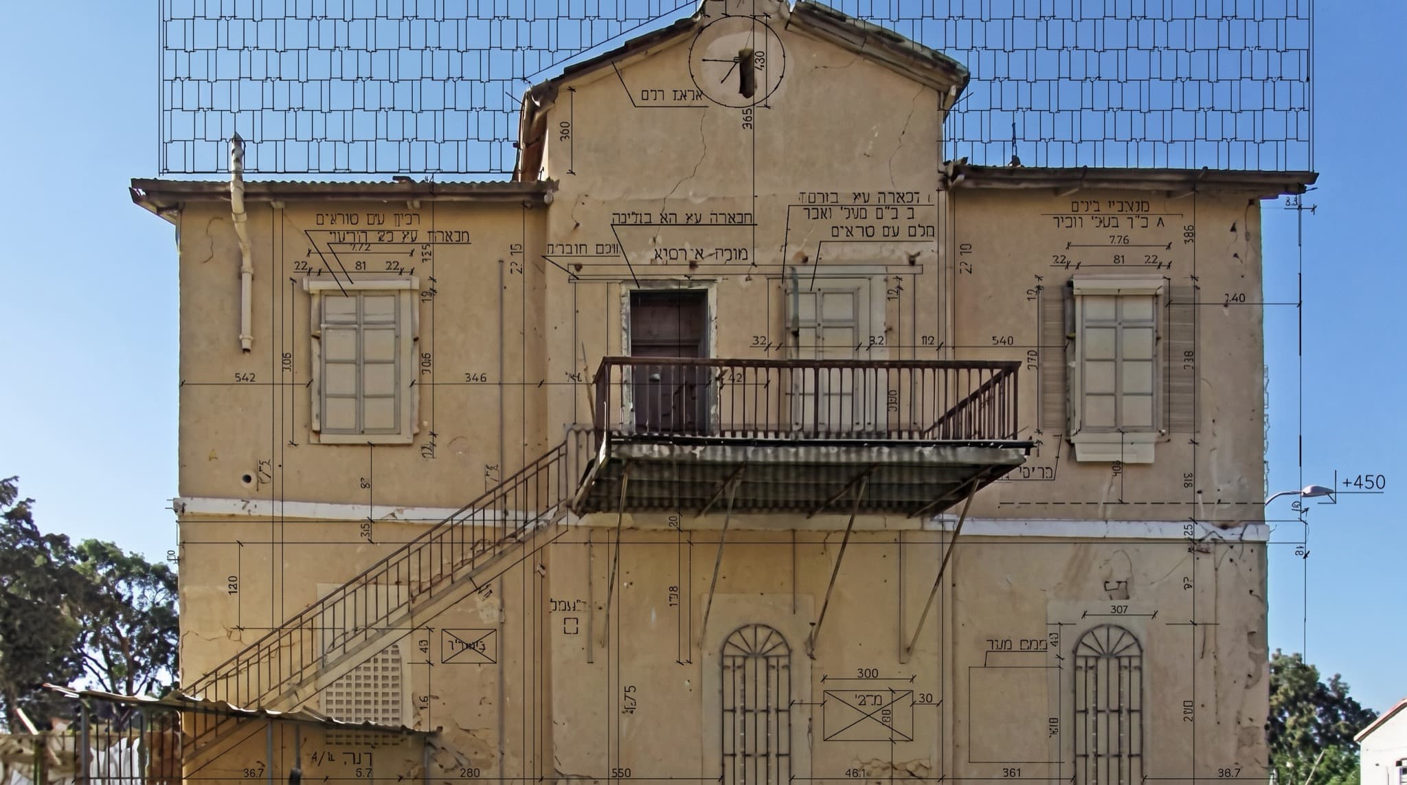
South Hakirya Restoration

South Hakirya Restoration

Tel Aviv · Israel

Restoration and reconstruction in the Tel Aviv metropolitan area. MDVIA supported the project from its beginning across geodetics, mapping and cadastre.

  • Geodetics
  • Mapping
  • Cadastre
0°23′N 9°27′E — Gabon · 2013●
Orthophoto Production

Orthophoto Production

Libreville · Gabon

Orthophoto production for cadastre, agricultural development and infrastructure planning — flown at up to 8 cm per pixel GSD by MDVIA's air crew.

  • Orthophoto 8 cm GSD
  • Cadastre
1°17′S 36°49′E — Kenya · 2013●
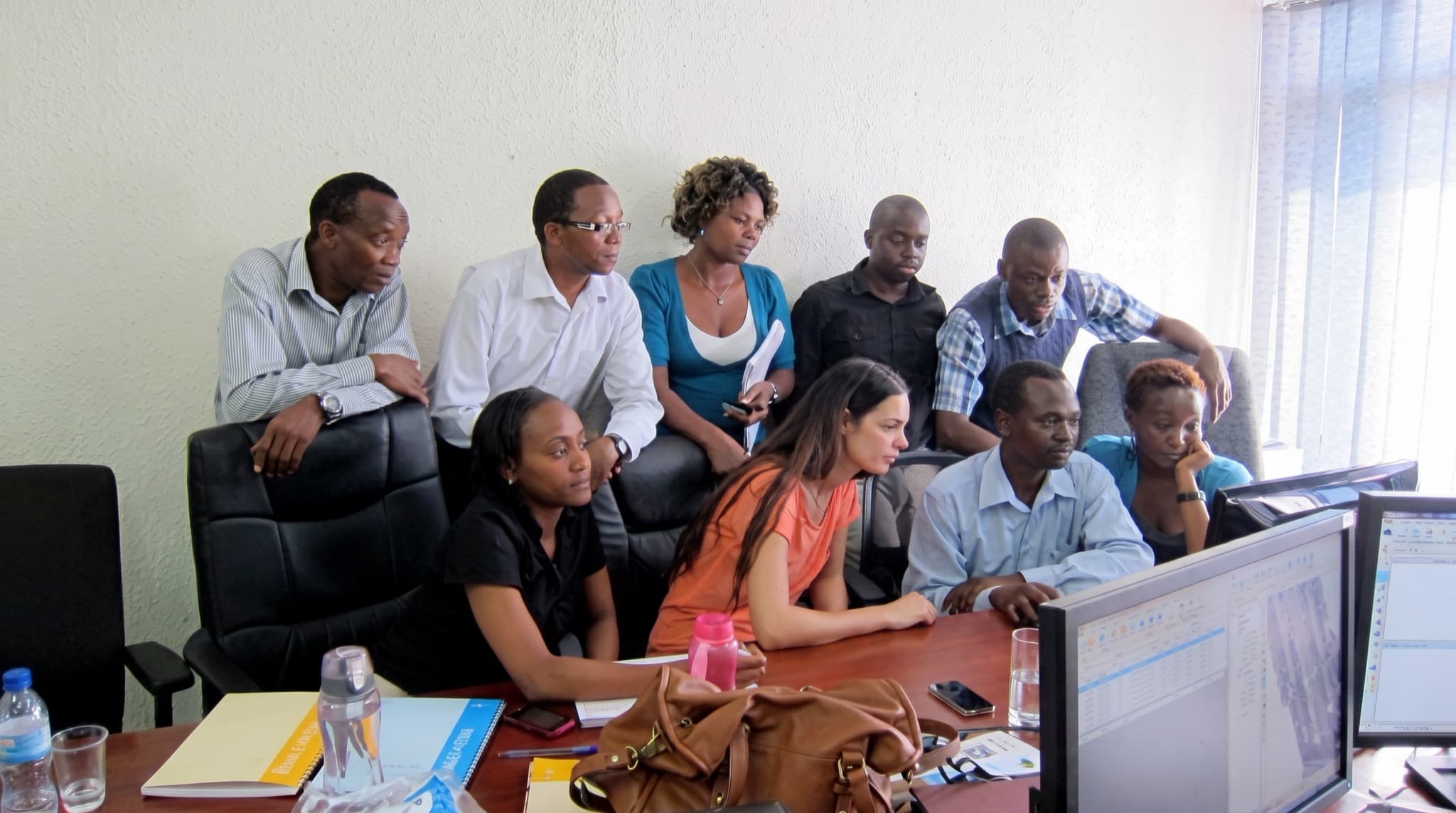
Training & Consultation

Training & Consultation

Nairobi · Kenya

A one-week course and consultation in the DTM editing domain, conveying MDVIA's production expertise to a local team.

  • Training
  • DTM editing

Start a project

Your terrain next.